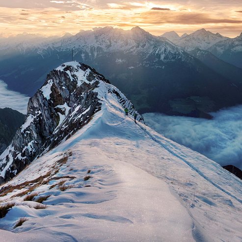
Lausitzer High Route
This magnificent high route is at least 13 kilometres long, crossing the Alpi Aurine immediately below the border line.
Ascent: From Casere - Kasern we will take the old road, passing the impressive shrine Heilig Geist (Santo Spirito), and on route 13 to the Lahneralm mountain hut (1,979 m, refreshments), then up a zigzag path, which leads to the Rifugio Brigata Tridentina - Birnlückenhütte (2,440 m, 3 hours, overnight stay optional).
The Lausitz high route: Continuing on route 13 but in the opposite direction you will reach the Pfaffenschneide ridge from where you will walk down the «devil's steps» with the aid of fixed ropes. After passing the Rifugio Neugersdorfer Hütte (2,568 m, 2.5 hours), you can walk through the Schüttalschneide Col (2,495 m) and the the Geiereggschneide Col (2,550, again using fixed ropes), descending to a large cirque (2,522 m; also down route 15). Going across two cirques separated by ridges (some sections require the use of ropes) and among several ups and downs (approx 2,600 m) below the Rauchkofel summit, we will walk up to the ridge (Seewände, 2619 m, vista sull’Austria), and then to the Hundskehljoch Col (2,607 m). Descending south-east on route 16b; we will turn left at the intersection on route 15a, to reach Waldnersee Lake (2,336 m; 7 – 8 hours).
Descent: Route 15a takes us along a rocky slope to a col (Marchbichl, 2,369 m), and downhill to the Hochwieser mountain hut or Stark-Alm (2,029 m). Route 15 is a steep zigzag descent among grazing land and woods to Casere - Kasern (2 hours from the lake).
![[Translate to Englisch:] [Translate to Englisch:]](/fileadmin/_processed_/f/f/csm_schwarzenstein-2017-DRUCK-30_f87b247b63.jpg)


![[Translate to Englisch:] [Translate to Englisch:]](/fileadmin/_processed_/3/e/csm_Hotel-Schwarzenstein-Bar-Restaurant-Wellness-Ahrntal-Suedtirol__19__d71e0efb34.jpg)


